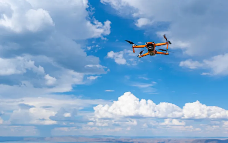
Frequency Under Siege: What Expanding 5G Infrastructure Means for Your Drone Operations
A New Variable in an Already Complex Equation
Commercial drone operators have long managed an intricate web of regulatory requirements, weather windows, airspace coordination, and equipment maintenance. Now, a new and largely invisible challenge has entered the operational calculus: the nationwide expansion of 5G wireless infrastructure and its encroachment into frequency bands that drone communication and control systems have historically depended upon.
This is not a theoretical concern reserved for engineers in laboratory settings. Operators across the country are already reporting degraded link quality, unexpected signal dropouts, and control latency in areas where 5G towers have recently gone live. For professionals whose livelihoods depend on reliable, uninterrupted data links between aircraft and ground stations, the implications are serious enough to warrant immediate attention.
Understanding the Spectrum Conflict
Most commercial drones—whether used for aerial photography, precision agriculture, infrastructure inspection, or delivery applications—rely on radio frequency bands in the 900 MHz, 2.4 GHz, and 5.8 GHz ranges for control links and video transmission. These bands have functioned as practical defaults for the industry because they offer reasonable range, adequate bandwidth, and relatively low interference in most operating environments.
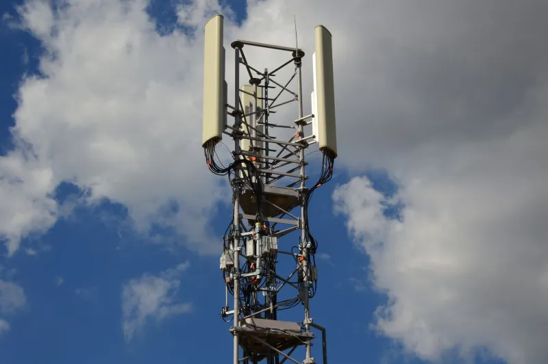
5G networks, however, are not a single, monolithic technology. They operate across a wide swath of the radio spectrum, from low-band frequencies below 1 GHz to mid-band C-band frequencies between 3.7 and 3.98 GHz, and into millimeter-wave bands above 24 GHz. The mid-band C-band rollout—which represents the most aggressive current deployment phase by carriers including AT&T and Verizon—is of particular concern to drone operators because its harmonics and intermodulation products can bleed into adjacent bands used by drone control systems.
Furthermore, the sheer power output of commercial 5G base stations can overwhelm nearby receivers that were designed to operate in quieter electromagnetic environments. Even when a 5G signal is not technically occupying the same frequency as a drone's control link, proximity to a high-power transmitter can raise the noise floor enough to degrade link margin significantly.
Which Regions Face the Greatest Risk
Not all markets face equal exposure. Urban corridors with dense carrier infrastructure—metropolitan areas such as Dallas, Chicago, Los Angeles, Atlanta, and New York—have seen the most concentrated 5G deployment and therefore present the most immediate interference risk. Suburban markets are following closely behind as carriers rush to fulfill coverage commitments tied to their C-band spectrum licenses.
Rural areas, which have historically been among the most permissive operating environments for commercial drone work, are also beginning to see mid-band deployments, particularly along major transportation corridors and in agricultural regions where carriers are targeting farm connectivity as a growth market. This is especially relevant for precision agriculture operators who have built service models around the assumption of clean spectrum in open fields.
The Federal Communications Commission maintains a publicly accessible database of licensed transmitter locations, and several third-party tools—including the FCC's own Geographic Information System viewer and commercial platforms such as Comsearch and Spectrum Access System portals—allow operators to overlay 5G infrastructure data against planned flight areas. Making this kind of pre-flight spectrum assessment part of standard operating procedure is no longer optional for professional operators working in contested markets.
Monitoring Deployment Schedules in Real Time
One of the more frustrating aspects of 5G interference risk is its dynamic nature. A flight corridor that was clean last month may be compromised today because a carrier quietly activated a new sector on an existing tower. Unlike airspace restrictions, which are published through official Notice to Air Missions systems, spectrum changes happen without direct notification to drone operators.
Several strategies can help operators stay ahead of these shifts. First, carrier coverage maps—available on the public websites of AT&T, Verizon, T-Mobile, and Dish—are updated periodically and can indicate where mid-band 5G has recently gone live. While these maps are not precise enough to identify individual tower activations, they provide useful regional trend data.
Second, spectrum monitoring hardware has become more accessible. Portable spectrum analyzers, once limited to well-funded enterprise operations, are now available at price points that make them practical for smaller commercial operators. Conducting a brief spectrum scan before flight operations in unfamiliar or recently urbanized environments can identify elevated noise conditions before they become a mid-mission problem.
Third, professional associations including the Association for Unmanned Vehicle Systems International (AUVSI) and the Small UAV Coalition actively track regulatory and infrastructure developments that affect spectrum access. Membership in these organizations provides early warning of policy changes and carrier deployment milestones that may affect operations.
Contingency Planning Before the Interference Arrives
The most effective response to 5G spectrum pressure is not reactive—it is structural. Operators who build interference resilience into their equipment selection and mission planning processes will be far better positioned than those who wait until a mission fails to address the problem.
On the equipment side, this means prioritizing platforms and control systems that support frequency hopping, adaptive power control, or operation in less congested bands. Several manufacturers now offer control link systems that can shift dynamically between frequencies based on real-time noise assessments, and some have introduced dedicated 4.9 GHz public safety band options that offer a degree of separation from the most crowded commercial frequencies.
For operators who conduct recurring work in specific geographic areas—regular infrastructure inspection routes, for example—establishing a baseline spectrum profile for each site during initial deployment provides a meaningful reference point. When anomalies appear in subsequent visits, they can be identified quickly and addressed before they affect mission outcomes.
Contract language is another dimension worth revisiting. Operators who deliver services under fixed-fee agreements should consider whether force majeure or environmental interference clauses adequately protect them in scenarios where spectrum conditions prevent mission completion. As 5G interference becomes a more common operational variable, clients will need to understand that some mission failures are infrastructure-driven rather than operator-driven.
The Longer View
The tension between expanding wireless infrastructure and drone operations is not going to resolve itself in the near term. Carriers have invested billions of dollars in C-band spectrum licenses and are under commercial pressure to deploy that capacity as rapidly as possible. The FAA and FCC have not yet established a coordinated framework for managing spectrum conflicts in low-altitude airspace, leaving operators to navigate the problem largely on their own.
What this means in practical terms is that frequency awareness must become a core professional competency for commercial drone operators in the same way that airspace awareness already is. The operators who treat spectrum as a managed resource—monitoring it, planning around it, and building technical redundancy against its degradation—will maintain operational reliability as the electromagnetic environment grows more complex. Those who do not will find themselves grounded at increasingly inconvenient moments, with no clear explanation and no immediate remedy.